Photogrammetry
Photogrammetry is the technology and science of capturing, measuring, reading and reporting information about physical objects and environments. This can be applied to both 2D and 3D imaging.
By interpreting the data that comes with the data collection, different models can be built. The data can be acquired via standard images, but also via LiDAR/Laser scans.
This allows points (point clouds) to be positioned at x, y and z coordinates. These points can be used to provide information for various applications:
- Digital Terrain Models (DTM)
- 3D modelling
- Orthographic images
- Mapping
- …
Drone images provide ideal data
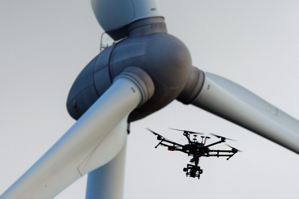
Thanks to drone technology we can collect a lot of data about a terrain or object.
The x, y, z coordinates are added to the images and ensure accurate processing within photogrammetry.
This allows to digitise and measure large objects precisely.
Drone Division has already carried out many fascinating projects within photogrammetry.
The precise measurement and digitisation of assets is a specialisation. We ensure millimetre-precise measurement of your structures.
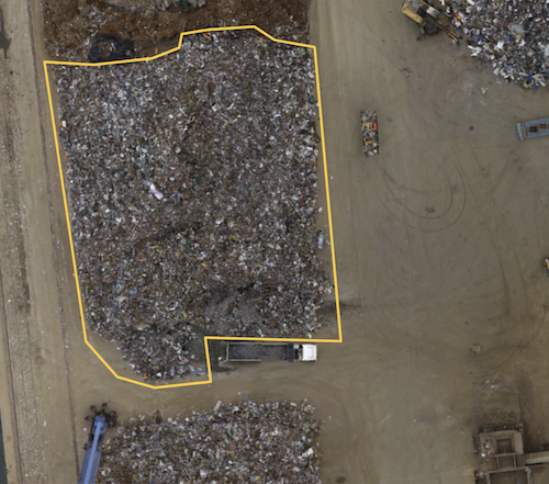
Stock pile volume measurement is a well know operation that can be done quicker and safer by photogrammetry.


