Drones used to reduce mowing casualties
Just before summer, when the last fawn, young hare and pheasant are hiding in the long grass, it is time to mow. This causes young victims in the game population every year.
Hunters and farmers therefore make every effort to limit the number of victims.
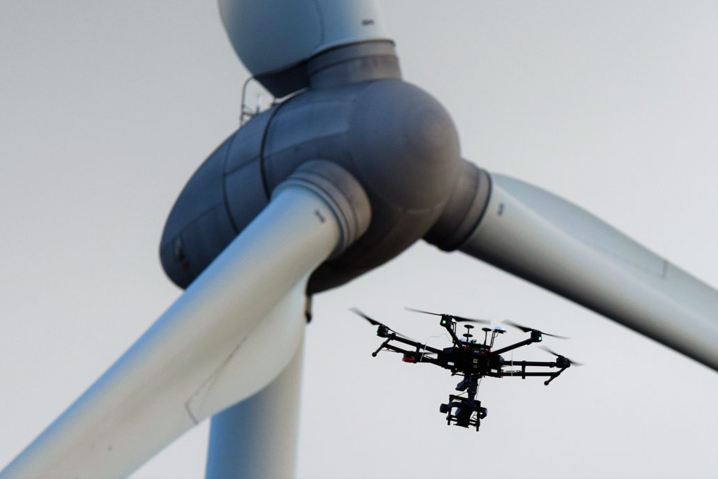
Normally, specially trained dogs are used to search the area. But thanks to drones, we can locate and rescue young animals faster and more accurately.
Rescuing young wildlife is time-consuming and requires specially trained dogs to locate the nests. It is also not always efficient because the game has temporarily left its hiding place but then comes back. It also requires a lot of manpower to search the plots of land.
Efficient use of drones with thermal camera
Hunters in Denderhoutem are working on a pilot project with drone technology to rescue animals from mowing machines. In this project, drones with thermal cameras are used to check whether any animals are hidden in the high grass before the fields are mowed. The drone is high enough not to disturb the animals, but can relay the exact position of the animals to the hunter and farmer.
Last year fifteen victims, now only two.
Drone Division went out with the hunters to inspect the grass fields with a thermal camera. The camera was mounted on a high-tech drone that manages energy efficiently so that a large area could be inspected and there was plenty of time to inspect both thermally and visually. As a result, many hectares can be inspected in a limited time with limited use of manpower.
The lapwing is also saved thanks to artificial intelligence
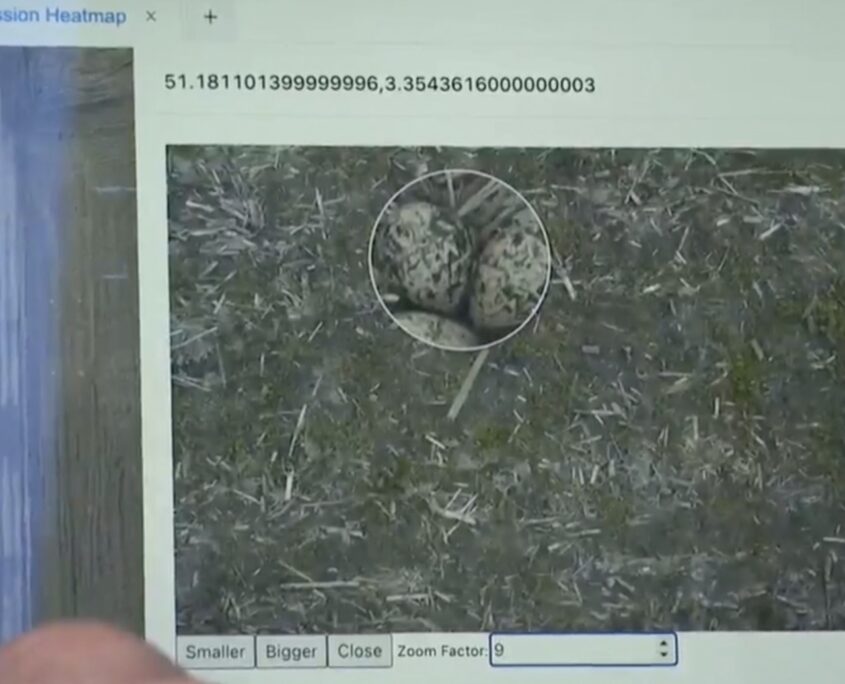
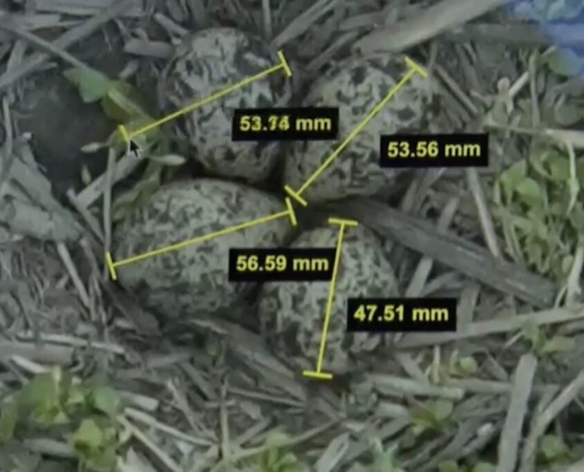
Lapwing nests are very difficult to spot because of their speckled eggs.
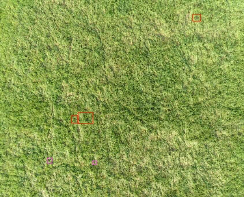
Thanks to artificial intelligence, the nests can be tracked down using drone images. The drone takes very sharp pictures from a height, these images are analysed by the computer and the nests are indicated.
Because the drone knows where it was when the photo was taken, the software knows exactly where the nest is located.
This information can then be transmitted to the farmer’s GPS system so that he can avoid the places where the nest is located.
The farmer receives a detailed map of the nests and can determine exactly where he may or may not plough.
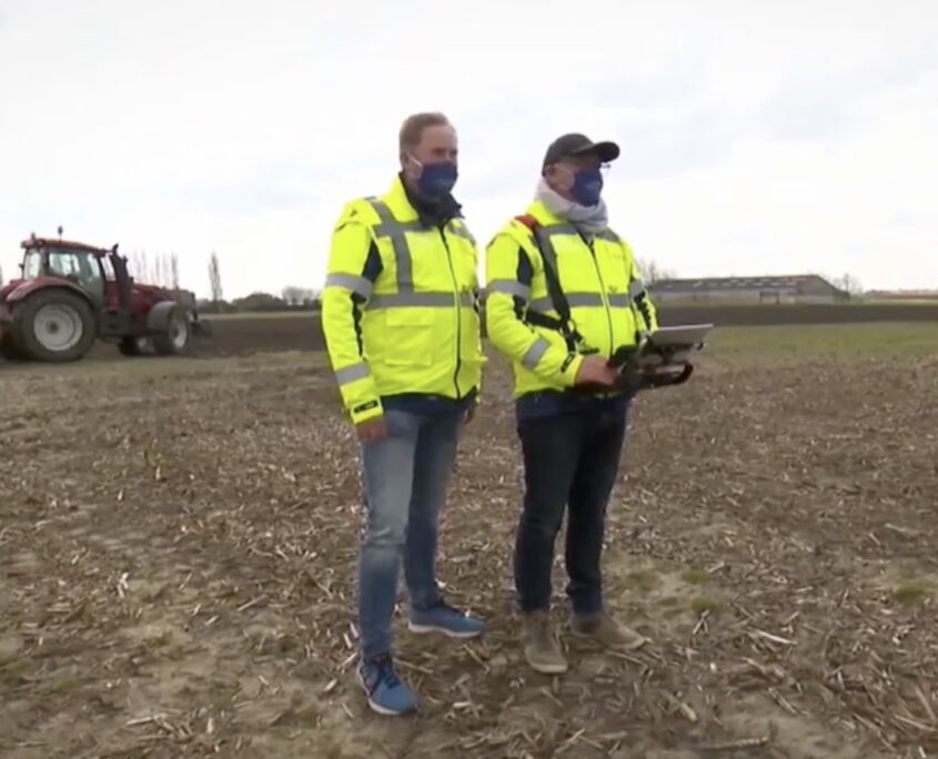
Thanks to the drone, many hectares can be checked in a short time and we can deploy people more efficiently.
